Google LatLong Translation
From All n One's bxp software Wixi
1 Overview
Google provides a number of amazing services to the world and the Internet. One of these tools is Google Maps. As an extension of Google Maps it is possible to give it address and it will look it up on the map. To do this, Google translates the address into Latitude and Longitude coordinates. This process is known as geocoding. The Google API provides a way for other services to do this translation automatically.
https://developers.google.com/maps/documentation/geocoding/
Using this engine bxp now has the ability to translate a block of addresses very quickly into coordinates and to store them in the bxp record. This visualisation of the addresses can provide useful business intelligence and graphical representation of clients and customers.
2 Setup
To use this engine, the first thing is that you need an address and also somewhere to store the resulting coordinates.
You add your address field and you need to also add a "Complex - Google Map" field type which adds two boxes one for Latitude and one for Longitude.
You add in your addresses as records.
3 Converting the address
The conversion tool is available from : Main Menu > Form Management > Form - Data Cleaning > Mass Update - Address Block to Google Lat | Long
If you have the complex type added the screen will appear. The above address lines allow you to supply the address in the order they are to be presented to Google.
There is a limit of processing 2500 addresses every 24 hours. This is imposed by Google and can see larger databases taking a little longer to convert. Only addresses with no lat long set will be processed. This allows you to perform this process repeatedly over a number of days. The records are converted in order they were added to the system.
4 Displaying the results
There are two options to display the mapped coordinates.
For single records, use the top ? button to the left of the lat and long coordinates in the form. This will relocate the map to the coordinates supplied.
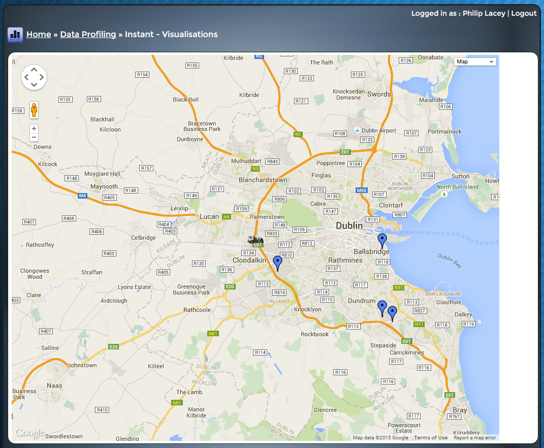
For mass display of the records Main Menu > Data Profiling > Instant - Visualisations > Visualisation - Latitude | Longitude points on Google Map Please be patient as there may be many pins to represent on the same map. Each pin allows a click through back to the record it represents.


